01 / EXPLORE
Rainforest, cloud forest, culture.
Amazon headwaters, biological immersion, photography, local knowledge, and the living landscapes around the mountains.
Route, body, oxygen and weather decide every summit day. Kordillera designs them together, in one team, before anyone leaves for base camp.
A mountain is never simply a line on a map. Local knowledge determines the route, the pace, the turn-around point and the safe return. We build the rest of the expedition around that judgment.
That knowledge is the base layer. The other three disciplines are fitted around it, not added on top of it.
At 18,000 ft, Carlota was climbing without prior acclimatization. Every climber responds differently to altitude. A pause on the mountain is part of the process: we watch how each person moves, breathes and recovers, then adjust the pace to what we observe.
Measured oxygen saturation, effort and guide judgment help us decide when to continue, slow down or reassess. The itinerary follows the climber—not the other way around.
Comfortable pace, stable effort and measured oxygen saturation. Progression considered by the guide.
Fatigue, higher effort or falling saturation. Slower pace, reassessment or a revised objective.
Rapid O₂ uses a demand-pulse oxygen system together with continuous saturation observation and a deliberate climbing pace. Oxygen is integrated into the ascent plan, with cylinder reserves and guide-led decisions considered from the beginning.
Regional weather is only the beginning. Kordillera integrates cloud context, summit wind structure, moonlight planning, and route-level decision data to evaluate the actual climb window on Cotopaxi. The forecast informs the decision; it does not replace the guide.

An illustrative Andean summit decision. These are example observations—not a real expedition record or live forecast.
Conditions are forecast to deteriorate later in the morning.
One climber is fatigued and requires a slower pace and reassessment.
Cylinder remaining volume and demand-pulse settings are checked against the remaining route.
Glacier conditions and the descent route determine the latest safe turn-around time.
The decision is not simply whether to summit. It is whether the entire ascent and descent remain sound.
For Ariel Tweto, the mountain begins long before the first step. An encounter with altitude, oxygen, uncertainty—and the decision to continue.
Explore the film
Private expeditions in the Andes, informed by mountain experience, Rapid O₂ and proprietary weather intelligence.
The Andes are not a single destination. They are rainforest, cloud forest, volcano, glacier, desert, plateau, city, village, trail, summit, and culture in one immense continental spine.
Clients do not choose altitude. They choose the kind of experience they want to earn.
Amazon headwaters, biological immersion, photography, local knowledge, and the living landscapes around the mountains.
Quilotoa, volcano circuits, ancient paths, páramo landscapes, and strong walking journeys with exceptional recovery.
Cotopaxi, Chimborazo, Antisana, Alpamayo, Sajama, and serious objectives for prepared clients.
Based in Ecuador. Reaching across the range. The brand is not a country. The brand is the Cordillera itself.
No badges. No gimmicks. Just landscapes strong enough to justify the journey.
One of the world’s most beautiful volcanoes, approached with patience and judgment.
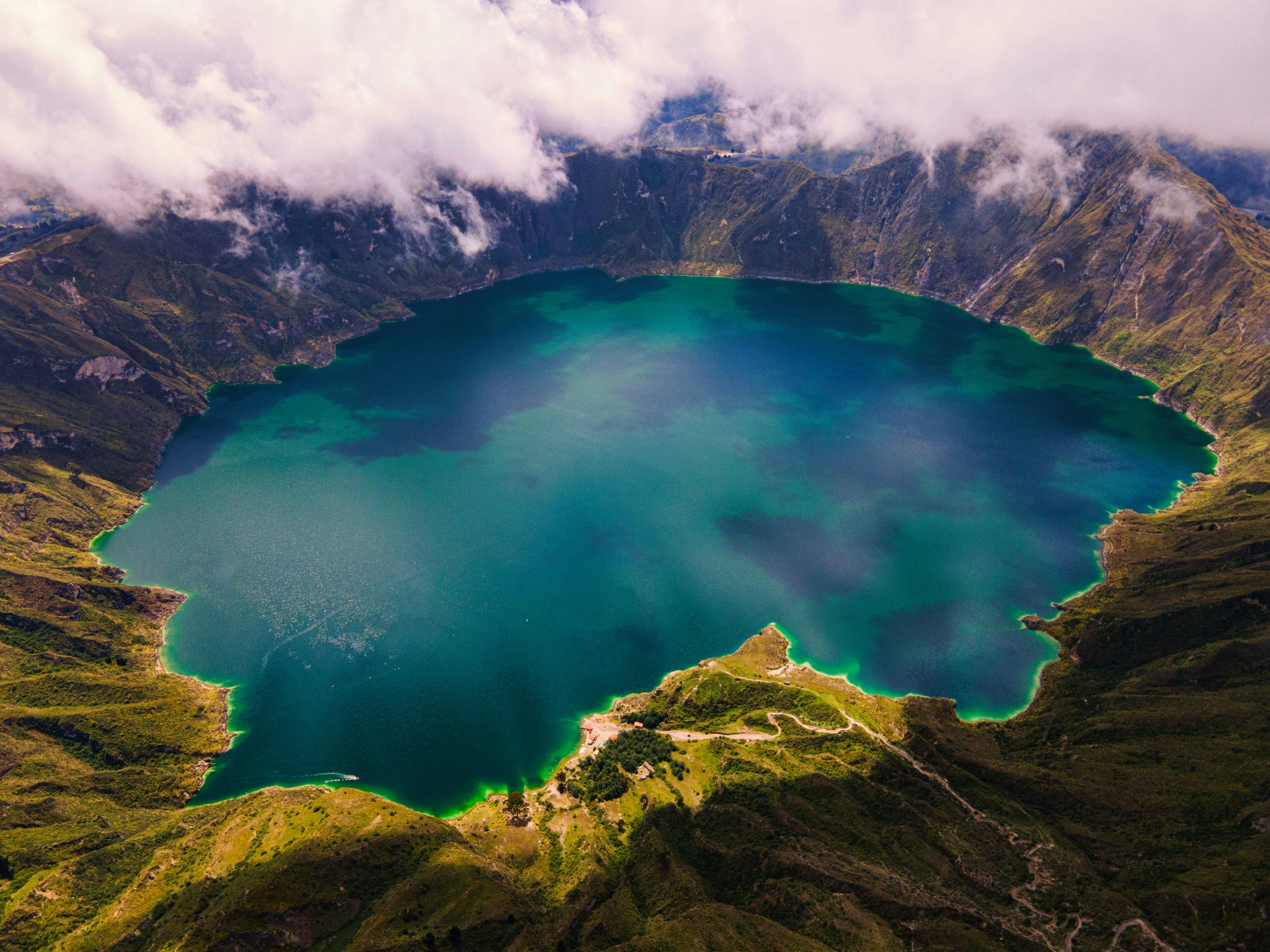
A crater lake, Andean villages, high trails, and a classic walking journey.
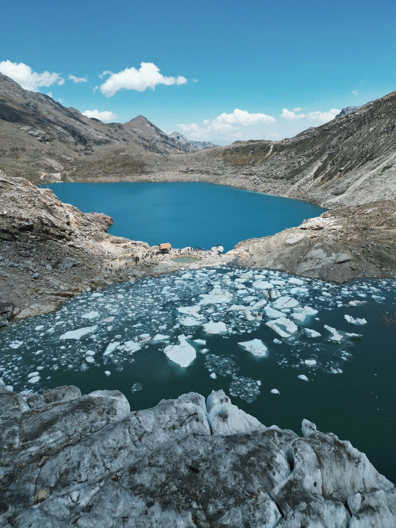
The great alpine theater of South America, from trekking circuits to serious peaks.
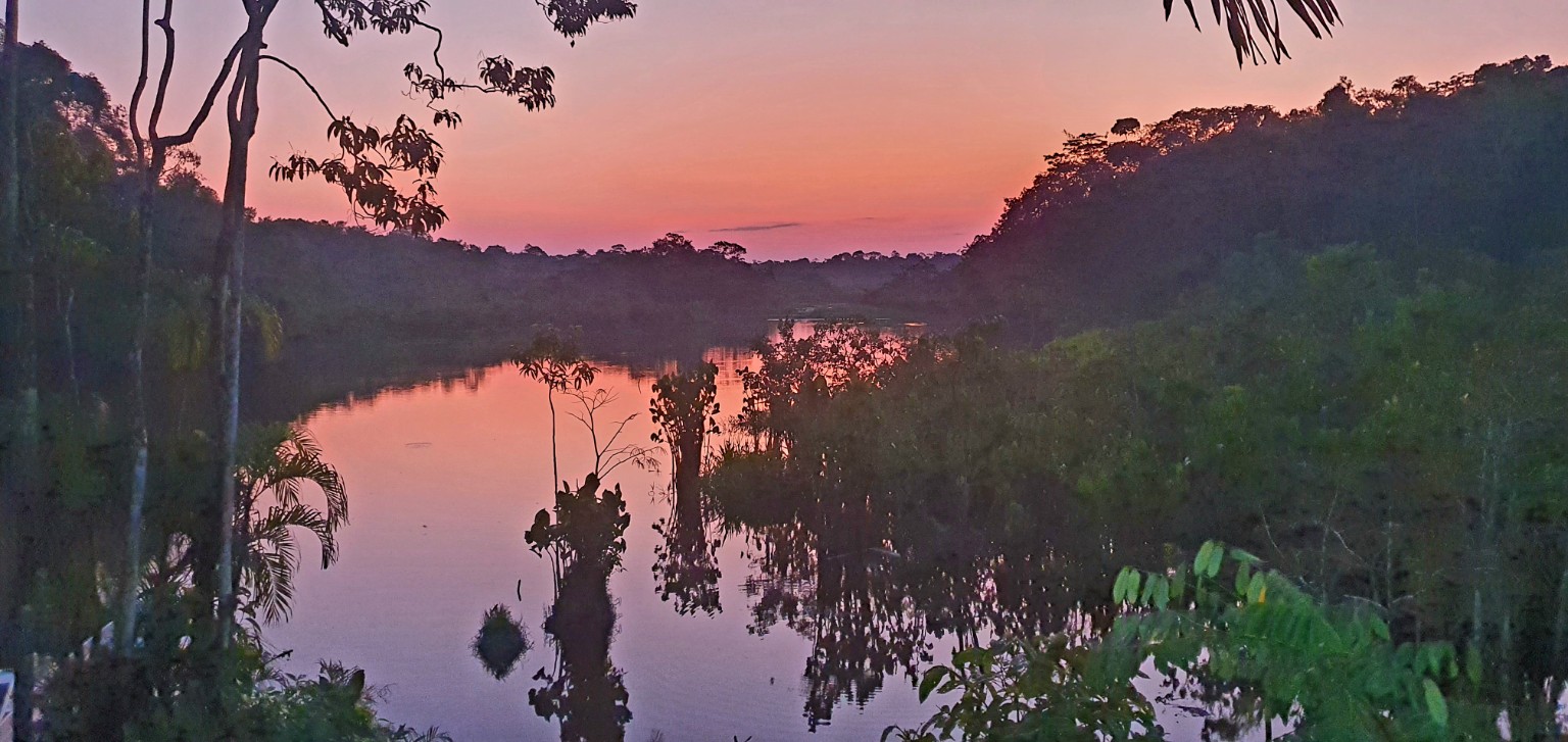
Rainforest immersion, rivers, wildlife, and the eastern edge of the Andean world.
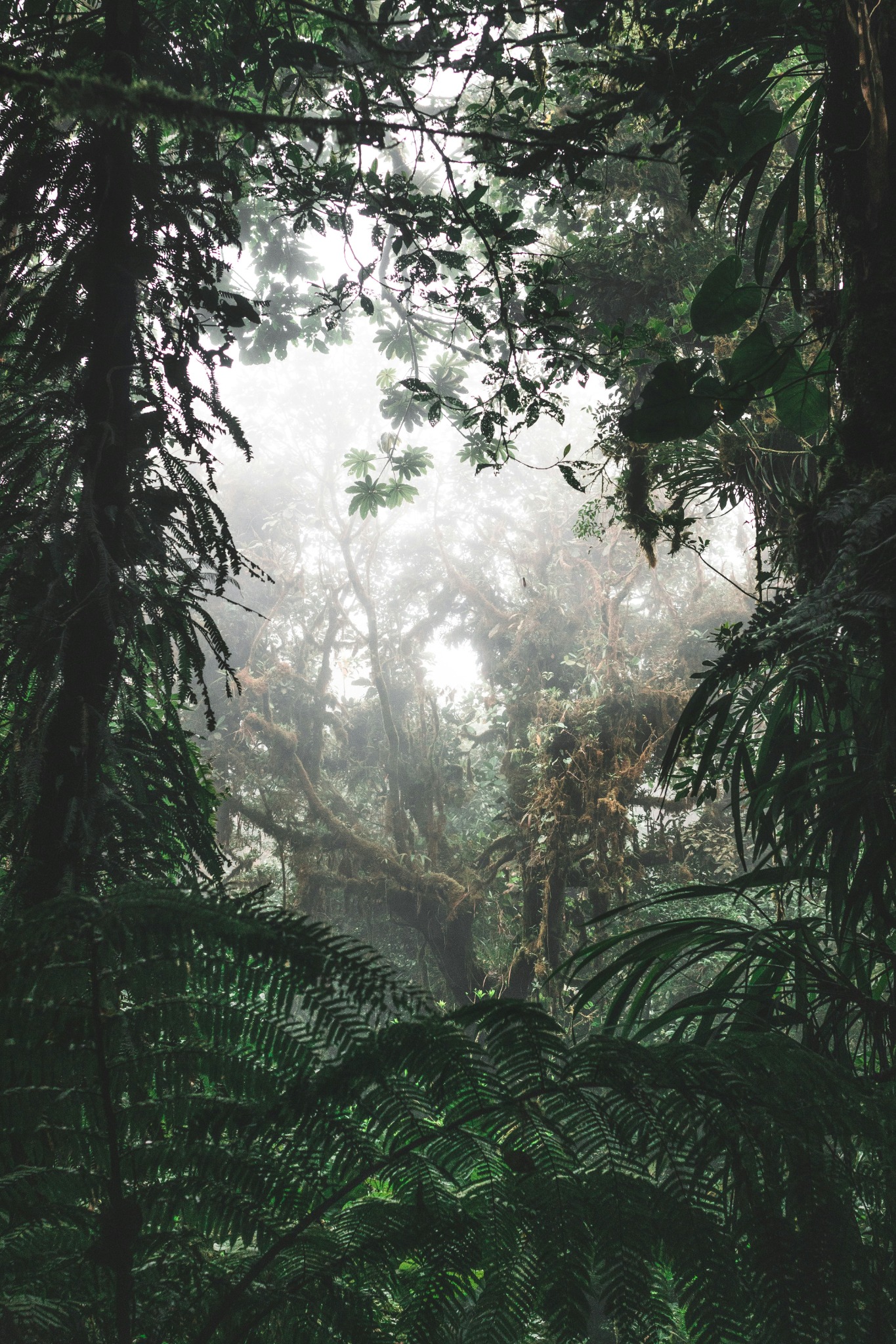
Biodiversity, altitude, mist, birds, and the transition zone between jungle and mountain.
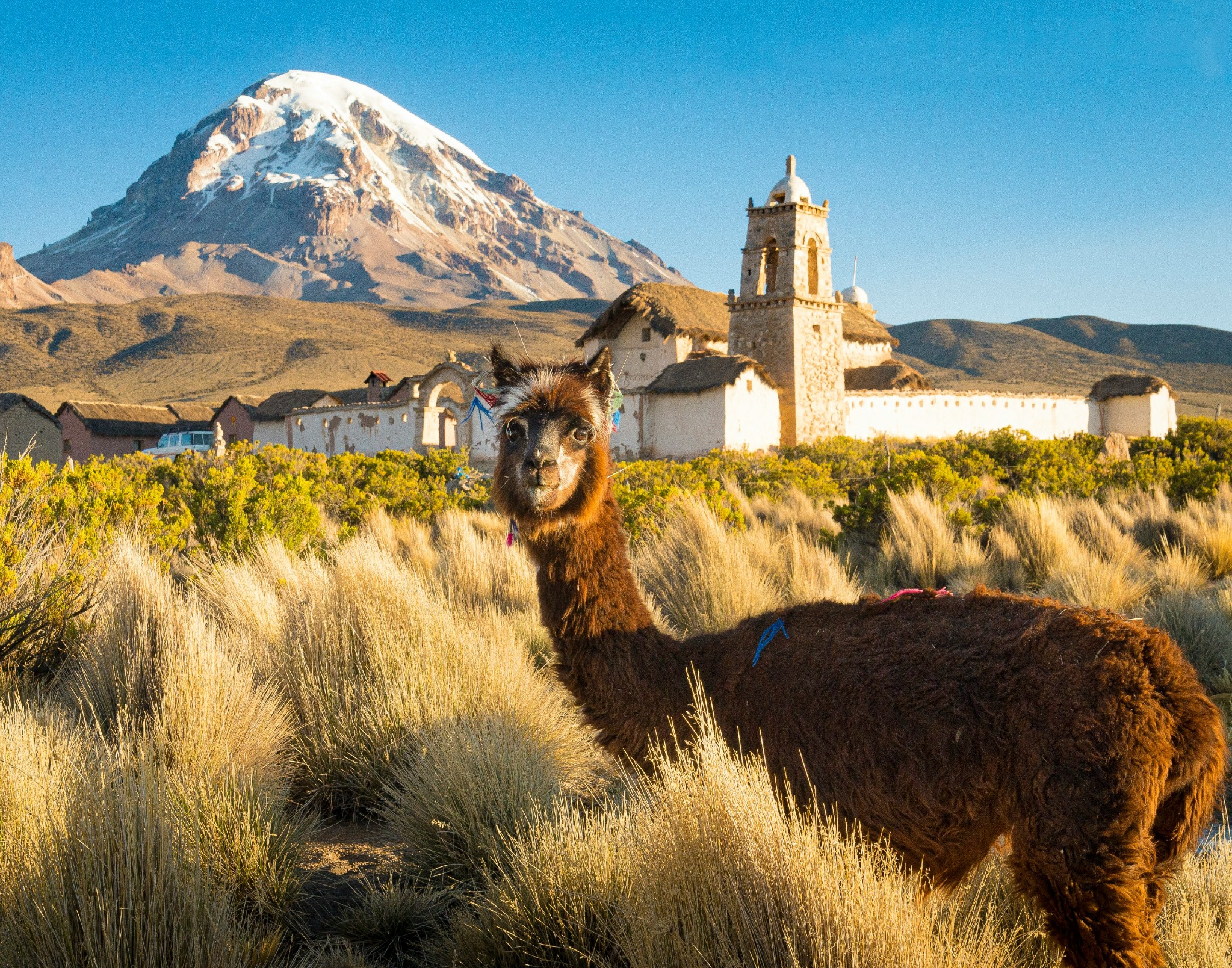
High desert, volcanoes, enormous horizons, and a different scale of solitude.
Kordillera exists for travelers who want mountain experiences that feel real, but intelligently built. The comfort is intentional. The meals matter. The hotels matter. But they serve the larger purpose: giving you the energy, confidence, and context to experience the Andes fully.
Founded and curated by a Stanford physician, Everest expedition doctor, and lifelong mountaineer.
Small groups, flexible itineraries, route judgment, and personalized pacing.
Exceptional hotels, meals, and logistics integrated quietly, not sold as the main event.
Guides, naturalists, cultural specialists, and mountain partners who know the terrain.